One system for everything that matters on the construction site.
SURVEY

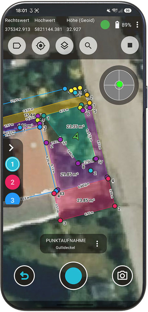
Record areas, paths, flower beds, and properties right on site—quickly, accurately, and with clear documentation.

SURVEY

Locate planning points precisely and mark them exactly where work is being done.

VOLUME

Accurately record and calculate excavation, terrain changes, and material movements.

DOCUMENTATION

Assign measurement data and photos directly to the project and generate completed documentation.

Less rework.
More time for your project.

Centimeter-precise measurements taken directly on the construction site.
No hand-drawn sketches. No duplicate data entry.

With 3tag , measurement and documentation become a seamless workflow:

Measure. Document. Export. Continue working.

One device. One workflow.
A completed report

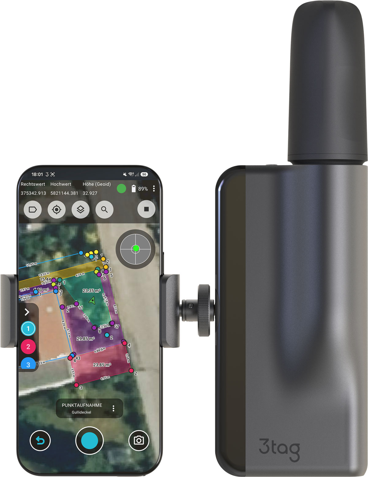
3tag combines precise GNSS surveying, laser measurement, and digital reporting in a single integrated system.

Centimeter-precise
positioning

Automated
Laser Measurement

PDF Reports
directly from the system

DXF Export
for CAD

Digital
Project documentation

For use on
construction sites

Unbox. Turn on. Get started.

We take care of the technology—you focus on your project.
Personal training, ongoing support, and a system that assists your team right on the job site.
Precision that makes your day-to-day work easier.

Request Now