Record. Document. Verify.

PIPES

Accurately map and document the location and route of utility lines.

STOCK

Survey infrastructure and existing structural components with centimeter-level accuracy.

CHANGES

Document renovations, remodeling, and changes to existing buildings in a way that is easy to follow.

DOCUMENTATION

Provide measurement data, photos, and reports in a structured format for clients and subsequent contractors.

Reliable data
straight from the field.

No handwritten sketches. Less effort required to transfer data. Less rework.

With 3tag , every measurement results in a traceable data set.

Measure. Document. Export. Continue working.

One device. One workflow.
A completed report.

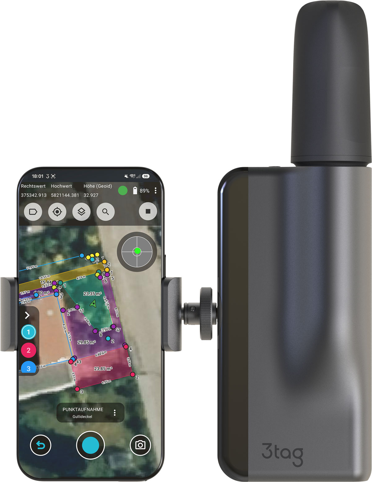
3tag combines precise positioning, automated laser measurement, and digital reporting in a single, integrated system.

Positioning accurate to the centimeter

Point and Line Detection

Photographic documentation at the measurement point

PDF reports directly from the system

DXF-Export

Data for CAD and GIS Workflows

Data that lasts.

The field data collected with 3tag provides a reliable foundation for documentation, planning, operations, and future expansions.

Accurate field data. Straight from the construction site.

Request a Consultation