A system for daily surveying tasks in building construction.
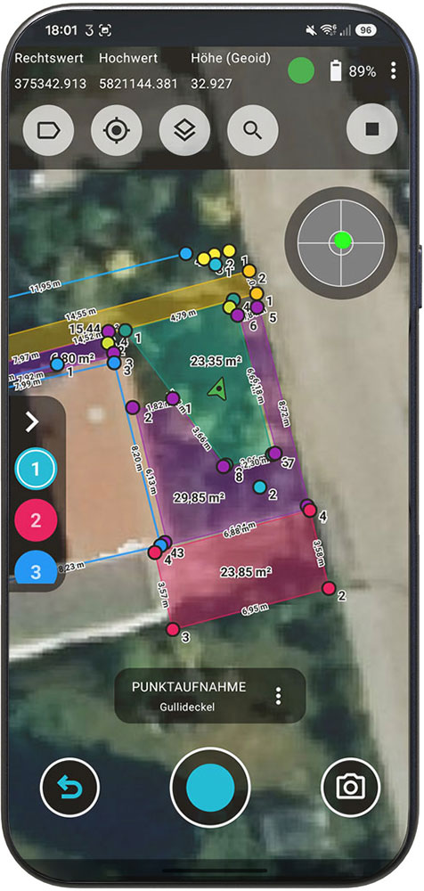
SURVEY

Precisely transfer foundation edges, axes, and layout points to the field.

AS-BUILT INSPECTION

Check and document completed work directly on the construction site.

VOLUME

Accurately record and verify excavation and site changes.

DOCUMENTATION

Document construction progress and inspections in a structured manner and share the information directly.

Wait less.
Decide faster.

Measurement, inspection, and reporting come together in a seamless workflow.

Measure. Inspect. Document. Continue working.

This reduces wait times, duplicate data entry, and unnecessary rework.

One device. One workflow. One complete report.

One device. One workflow.
A completed report

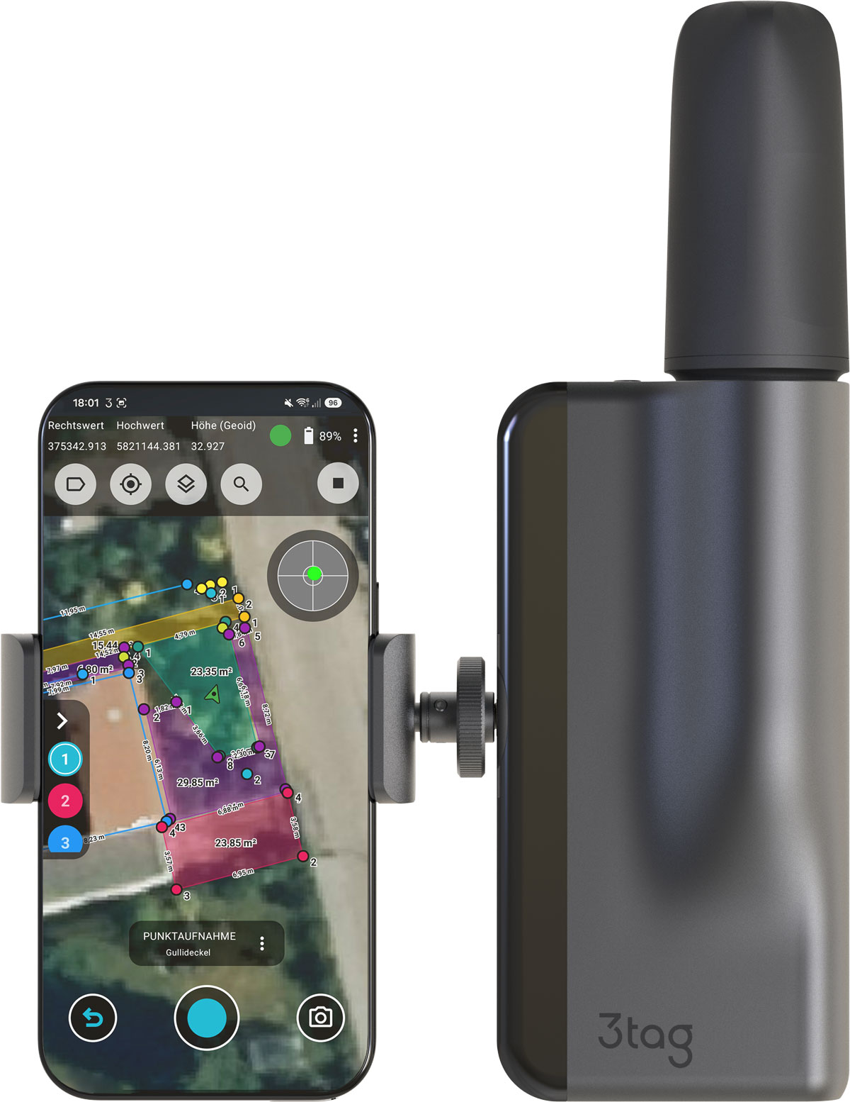
3tag combines GNSS positioning, automated laser measurement, and integrated reporting in a single, closed system.

Centimeter-Precise Positioning

Automated Altitude Compensation

On-Device Reporting

PDF Reports and DXF Export

CAD- and GIS-compatible data

Designed for use on construction sites

Precision for the whole team.

3tag brings professional-grade surveying closer to everyday construction work.
Accessible for beginners. Powerful for professionals.

Request Now