

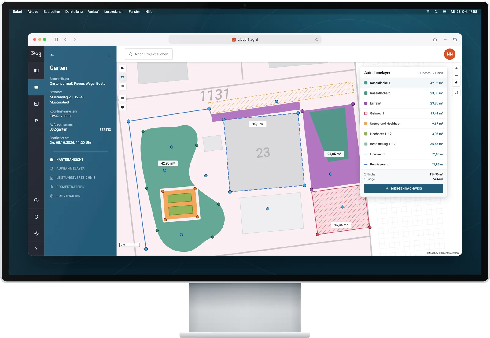
01
Prepare
Plans and bills of quantities into the cloud.
Measure, document and bill – from the bill of quantities to your invoicing software.
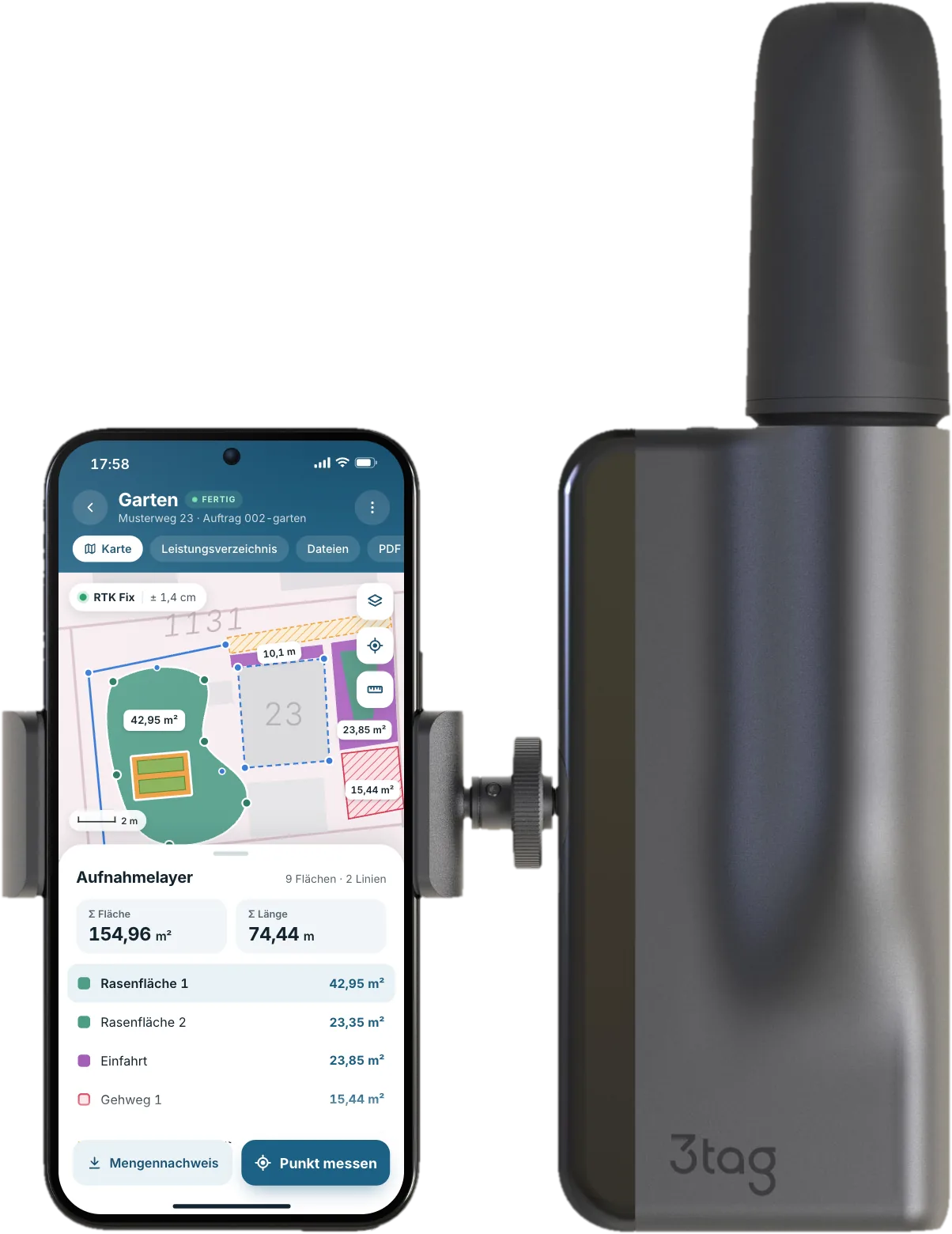
Plans and bills of quantities into the cloud.
Capture on site, documented automatically.
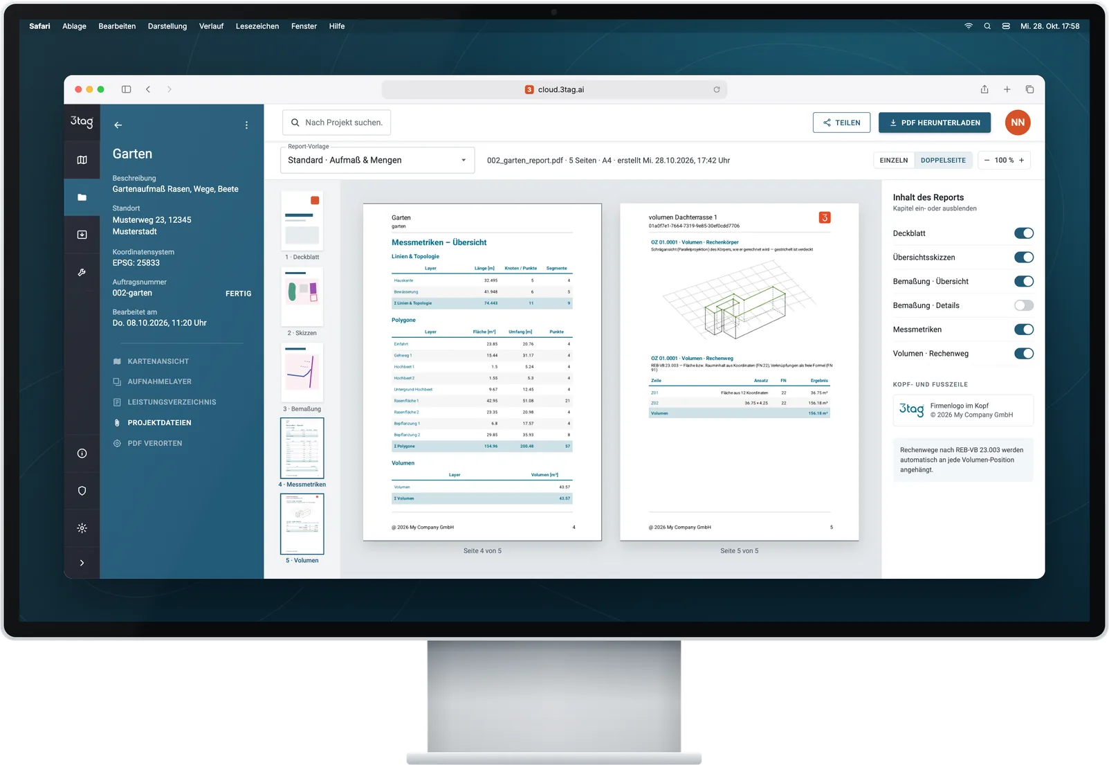
Quantities and records straight to billing.
1234
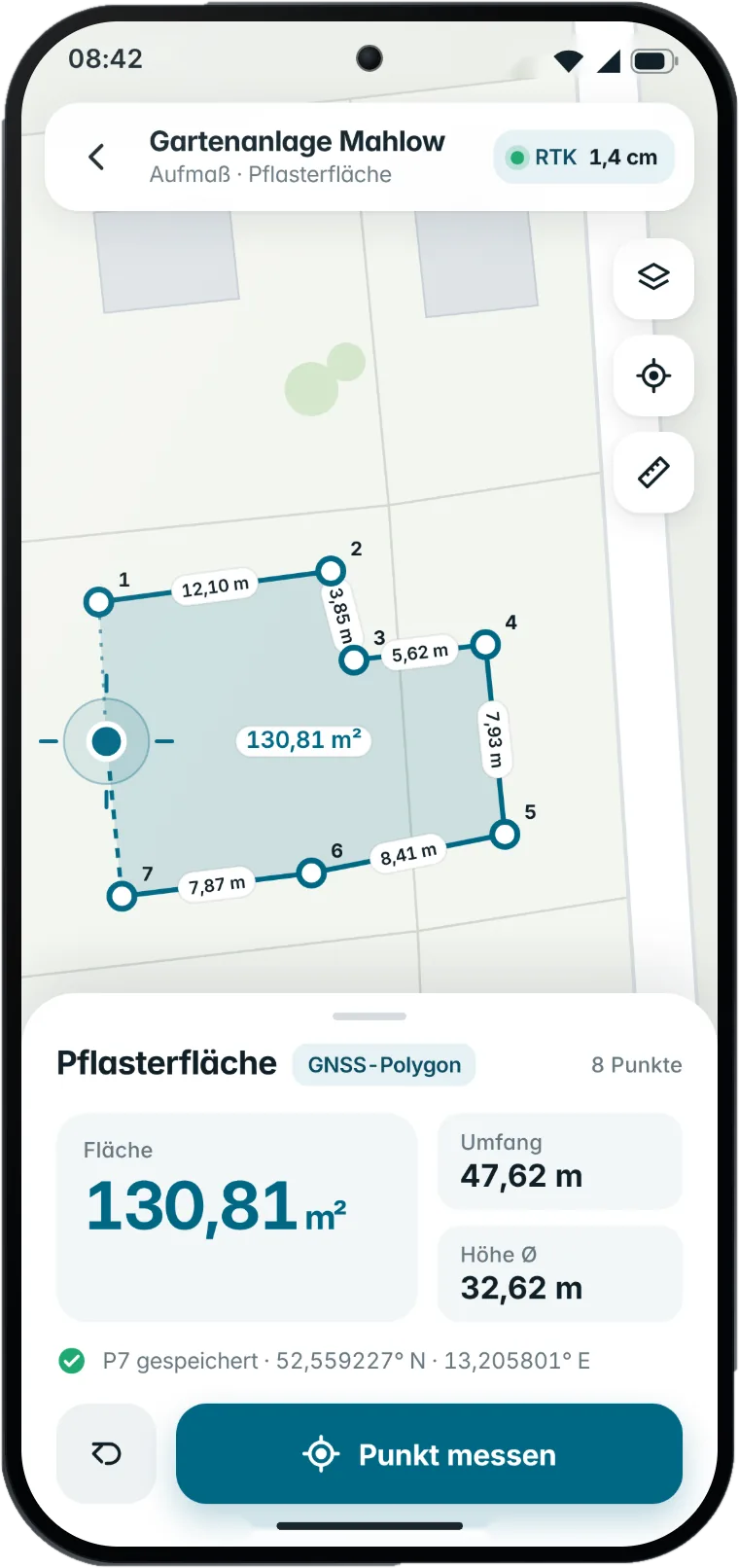

 Sample values
Excavations, cut and fill quantities.
Record utilities before the trench is closed.
Foundation points and work areas.
Paths, beds and maintained areas.
Illustrations – sample values
Clicking loads the video from YouTube (privacy-enhanced mode).
For asset maps, outdoor facilities and area registers – as GeoPackage, GML, KML/KMZ or Shapefile.
Octave GeoMedia, formerly Hexagon
For further design work with measured geometries.
Pass on quantities via REB DA11 or GAEB X31 – depending on the target system.
Reuse outdoor areas and maintenance zones in CAD and GIS. For CAFM systems, data and import rules are aligned with the respective process.
Software examples with documented import paths. Software version, licence and import configuration determine the available scope.
3tag combines site measurement, records and billing export. Compare the entire workflow – from measuring to using the data in the office.
| Criterion |  |
GNSS with rover pole | Surveying app | Total station |
|---|---|---|---|---|
| Measuring principle | GNSS + laser | GNSS on a pole | Smartphone sensors; additional device if needed | Angle and distance measurement |
| Measurement and setting out | In one app | With field software | Depends on app / hardware | With field software |
| Field equipment | Handheld device + smartphone | Rover pole + controller | Smartphone; additional device if needed | Tripod; prism if needed |
| Accuracy | Centimetre range with RTK | Centimetre range with RTK | Depends on sensors and georeferencing | High precision; device-dependent |
| Sketches, photos, reports | Combined in the project | Depends on software | Depends on app | Depends on software |
| REB DA11 / GAEB X31 | Export built in (Premium and up) | Suitable software required | Suitable software required | Suitable software required |
| Requirements | Satellite reception + correction data | Satellite reception + correction data | Depends on sensors / additional device | Line of sight + reference points |
Typical characteristics; the actual scope depends on the device and software.
No. After a short introduction, your team handles everyday measuring tasks on its own. You also get video tutorials for every new feature – and with Premium, a two-hour live onboarding based on your use cases plus the AI assistant right in the app.
3tag measures to the centimetre with RTK, and the built-in laser transfers the height automatically. You assign quantities to the items in the bill of quantities and pass them on as REB DA11 or GAEB X31 – with a PDF report and photos for verification.
Every package includes the 3tag device, a smartphone with the 3tag app and the cloud – same hardware, same accuracy. Standard includes 12 months of software and email support. Premium includes 24 months of software plus volumes, BoQ import, REB/GAEB, CAD/GIS, up to 5 users, phone support, the AI assistant and a 2-hour live onboarding. You'll find all the details on the pricing page.
Standard: after 12 months, €99 per month, billed annually. Premium: after 24 months, a service package on the terms in your personal quote. Enterprise: as per contract.
Yes. In a live video demo, we show you 3tag on your own tasks and recommend the right package.
You can import DWG, DXF, GML, KML/KMZ, GeoPackage, GeoJSON, Shapefile and GeoTXT point lists, and georeference PDF plans. You can export to CAD, GIS, terrain model and billing formats – see all formats in the export overview.
In a German cloud infrastructure in Upper Franconia. Personal data is processed in line with the GDPR, transfers are encrypted, access is managed per project and regular backups protect against data loss.
3tag receives correction data via NTRIP (RTCM 3.x). We set up access as part of your package, matched to your federal state – for example via SAPOS. Alternatively, we offer services such as RTKdata, u-blox PointPerfect or Galileo HAS. Accuracy, coverage and costs vary by service; we’ll help you choose what suits your sites.
GNSS works best with a clear view of the sky. Under dense tree cover, right next to tall buildings or in deep trenches, accuracy can drop – as with any satellite-based measuring system. Without a mobile signal, you simply keep working offline: your data stays on the smartphone and syncs with the cloud as soon as you’re back online. NTRIP correction data, however, need a data connection.
For everyday work within your own team, yes: you handle measurement, setting out and documentation yourself, without waiting for an appointment. Official surveys – such as boundary or building surveys for the land register – remain the job of licensed surveyors and surveying authorities.